Eumetsat imagery / IR Western
Europe Image
NOAA GOES E North
Atlantic IR Loop
MSG Cloud
Top Temperature and Height / Cloud
Type
MSG Satellite
Derived Winds
MSG European Dust/Ash
Image
Yr.no Meteosat
animations
Free Uni. of Berlin MSG IR Loop
/ Vis
loop
Sat24 UK loop
/ Euro
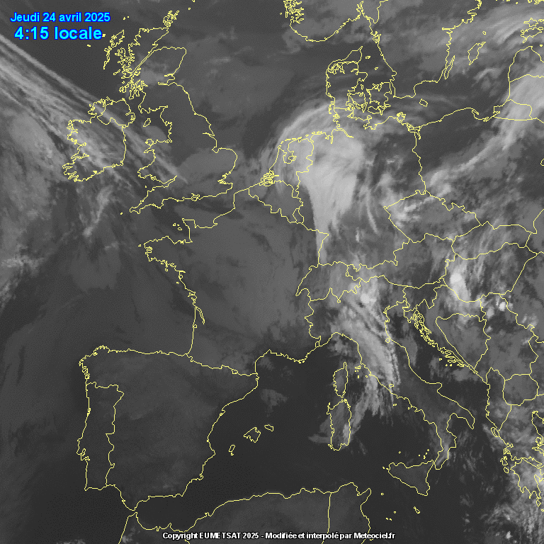
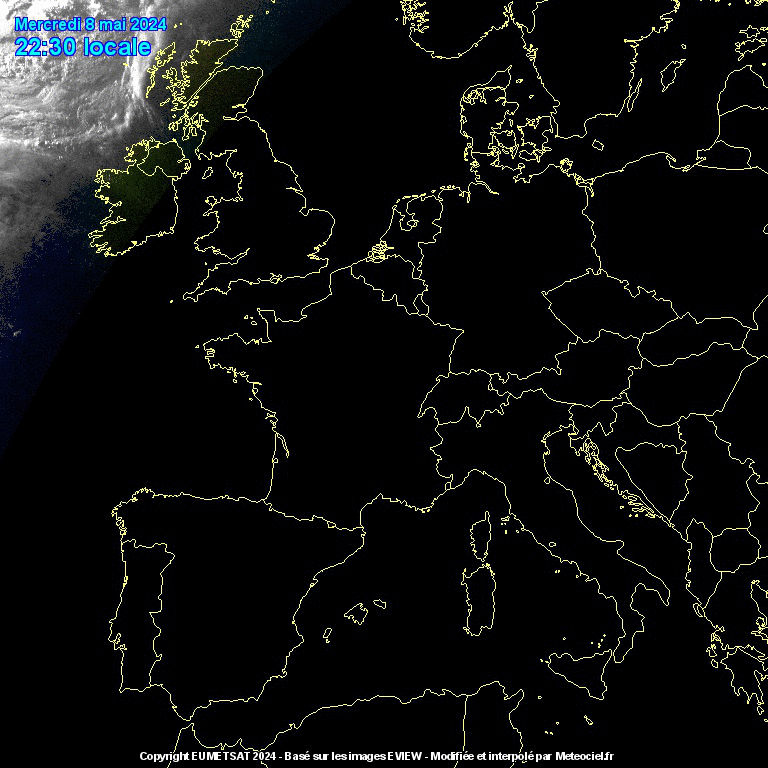
Meteoceil European
IR Loop / Visible
NOAA
AWC ICAO Area Imagery / Northern
Hemisphere IR image
Bernie Burton's NOAA AVHRR and MSG
imagery
NRL Monterey
Thermal Cloud Tops
NRL VIS/IR
Composite images with NOGAPS overlays
Himawari-8
Imagery (southern hemisphere)
 Rammb-slider
Note tropical imagery can
be found on the Tropical
Storm page
|
Dundee
Satellite receiving station
Bernie Burton's NOAA AVHRR and MSG imagery
Ferdinand Valk
NOAA
AVHRR pictures from the CHMI
General Sites :-
Rutgers Weather Centre Northern
Hemisphere animations
Satellite
derived Quickscat
winds
NASA Global
interactive satellite selector
MODIS
Rapid Response Project
Earthview
: Shows the current view of the Earth as seen from the
sun/moon and more
Our
Planet Earth From Space
Allmetsat
satellite imagery from various sources
|
